We recently finished reading all of the 13,000 public comments on the FEMA draft EIS. FEMA says that about 90% of the comments are opposed to the project and having read the comments that seems about right.
It was a very rewarding experience to read the comments and we recommend it to anyone who is discouraged or doubtful that we can prevent the destruction of our urban forest in the East Bay (available HERE).
There were many excellent comments, many from people with specific expertise and knowledge of the issues that inform our opposition to these projects. We plan to publish a few of them, as we obtain permission from their authors. Today, we publish the public comment of Christopher Adams, with his permission. We hope you are as impressed with his astute analysis as we are.
Comments on Hazardous Fire Risk Reduction, East Bay Hills, CA,
Draft EIS
Prepared by Christopher Adams
Introduction:
My comments here are made solely in my capacity as a private citizen, but I think it is germane to state my background. I am a retired university planner, and for several years I directed the office which was responsible for review of every environmental document prepared by all the campuses and other facilities of the University of California. In addition, I was directly involved with the drafting, the public hearings, and the response to comments and preparation of two major Environmental Impact Reports, prepared under the California Environmental Quality Act for a UC campus. I also live near the EB Hills in an area subject to wild fires and share the concerns of others about the risk of fire.
Summary:
The Hazardous Fire Risk Reduction, East Bay Hills, CA, Draft EIS is a deficient document, beginning with its basic premise. While purportedly for the purposes of fire management, the proposed actions appear to be mostly motivated by a dream of a restoring the EB Hills to some imagined Eden prior to the European and American colonization of California. Instead of applying scientific and policy analysis to the impacts of the proposed actions the DEIS authors appear to have decided that the proposed clear cutting and herbicide measures are the right ones for fire protection and then cherry‐picked evidence, whether in the description of existing conditions or the possible alternatives solutions, which supports this conclusion. The DEIS rejects out of hand fire management alternatives that do not involve clear cutting and massive application of herbicides. In so doing the DEIS is a classic example of post hoc rationalization. Unless the DEIS is re‐issued with corrections and additions responding to the comments below, I believe that FEMA is seriously exposed to potential litigation. More significantly, if FEMA does not consider other less draconian and less expensive fire management measures, it will not be serving the interests of the citizens most impacted by fire danger, not to mention the taxpayers who will ultimately foot the bill.
Specific Comments:
The DEIS fails to note the existence of native trees which are specifically susceptible to the effects of one of the herbicides proposed for use. Section 4.2.2.2.1 notes that the native trees in the woodlands include madrone (Arbutus menziesii). However, in Section 3.4.2.1.1 Strawberry Canyon‐PDM there is no mention of madrones in the list of trees in the “native forest” (first paragraph of section). This is a significant omission, because there are madrones in Strawberry Canyon, yet in the third paragraph of this same section one of the two herbicides proposed for use to stifle stump regeneration is Stalker (imazapyr) which has been identified elsewhere as being used specifically to eliminate madrones. According to the EPA Reregistration Eligibility Decision for Imazapyr: “Imazapyr use at the labeled rates on non‐crop areas when applied as a spray or as a granular to forestry areas present risks to non‐target plants located adjacent to treated areas.” (1)
The DEIS fails to acknowledge the growing threat of French broom in the UCB area.
While the presence of eucalyptus, Monterey pine, and acacia is repeatedly discussed, there is almost no mention of the rapid invasion of French broom. It is mentioned only in passing and without its scientific name in the discussion in Section 4.2.2.2.3 under “Northern Coastal Scrub.” While French broom has been rapidly increasing in the upper slopes of the Strawberry Canyon PDM and Claremont PDM areas, there is no mention of it at these locations in the DEIS. This plant is an active pyrophyte which chokes out native vegetation, can be poisonous to livestock, and is of limited benefit to native animals. The increase in sunlight from the proposed removal of large amounts of eucalyptus will encourage its spread. There is no mention of the fire risk from French broom in the discussion of fire risk in Northern Coastal Scrub, Section 4.3.3.2.5, and I could find no mention of its removal anywhere in the document.
The UCB project description does not explain if a fuel break is planned in the UCB areas and if so to describe it.
Section 1.1.1 UCB states that it will follow the “same general approach…which is included in Oakland’s grant application (see Section 1.1.2 below).” In Section 1.1.2 it is stated there the Oakland PDM would “create a fuel break on the west side of Grizzly Peak Boulevard north and east of the Caldecott Tunnel [presumably this means the west entrance to the tunnel].” UCB Strawberry Canyon properties also abut Grizzly Peak Boulevard, so the statement of “the same general approach” implies that UCB also proposes a “fuel break,” but none is described. Since the term “fuel break” implies clearing to the bare soil, with potential significant environmental impacts, this is a serious omission.
The DEIS fails to consider the impact on global climate change by the wholesale destruction of trees. The DEIS states that for UCB Strawberry Canyon alone 12,000 trees will be destroyed. Because trees absorb CO2 at an average rate of 13 pounds per year, this represents a potential loss in CO2 absorption of 78 tons per year. Given the growth patterns of native trees in Berkeley, which tend to be riparian or to grow on north facing slopes in a widely scattered pattern, the number of replacement trees will not come close to compensating for those destroyed. The difference should be estimated and calculated.
The DEIS fails to consider an actual and accomplished fuel management program when dismissing the alternative described in Section 3.3.1.1.
The Lawrence Berkeley National Laboratory (LBNL) is located on 175 acres on the north side of Strawberry Canyon immediately adjacent to the UCB and EBRPD areas described in the DEIS. LBNL, which is managed by the University of California, employs more than 4,000 persons on this site in laboratory buildings and with equipment that is worth several billion dollars. LBNL has recently completed a fire management program which is essentially what is described in Section 3.3.1.1 of the DEIS, Removal of Brush, Surface Fuels, Lower Limbs and Small Trees. The entire project was completed within the LBNL maintenance budget without special grants and has given the laboratory a great deal of fire security, according to its professional fire personnel. Yet there is no reference to this in the DEIS. The LBNL program is further described in the following links. This first links to a powerpoint slides; the second to a video discussion of the slides. http://www.lbnl‐cag.org/docManager/1000000159/Berkeley%20Lab%20Fire%20Safe%20Vegetati on%2C%20Lab%20Fire%20Marshal.pdf
http://www.lbnl‐cag.org/Content/10024/preview.html
The links convey much more effectively than my comments how an alternative to massive clear cutting and massive application of herbicides will effectively accomplish the goal of managing fire in the East Bay Hills.
The DEIS is incomplete and verging on the dishonest about the use of herbicides.
“Management of resprouts without herbicides is expensive….and thus was removed from further study.” This ignores the management of resprouts used successfully by LBNL as described in the above referenced powerpoint and video. There is no study about the use of herbicides at the scale proposed, e.g. 12,000 trees in Strawberry Canyon alone, on human populations, let alone native plants and animals.
The DEIS fails completely to discuss the realities of encouraging native plants after the clear cutting and heavy and repeated application of herbicides.
1) Restoration ecology is barely in its infancy, yet this DEIS expects us to accept on faith alone that when the clear cutting is done and the slopes sprayed with herbicides the native vegetation will miraculously reappear.
2) At the present time live oaks and bays are common on the north side (south facing side) of Strawberry Canyon under eucalyptus. This is probably because the fog drip from the eucalyptus and the shade encourage their growth in what would otherwise be a very dry area. Compare, for example, on slopes of similar aspect in portions of the EB Hills behind El Cerrito or Fremont. There is nothing in the DEIS to explain how native trees will increase or survive after the clear cutting has destroyed their source of water and shade.
3) Because of the abundance of deer in Strawberry Canyon and adjacent areas, small trees need to be protected against browsing. (See the LBNL powerpoint for an illustration of wire protective cages. http://www.lbnl‐ cag.org/docManager/1000000159/Berkeley%20Lab%20Fire%20Safe%20Vegetati on%2C%20Lab%20Fire%20Marshal.pdf) The DEIS says nothing about preventing deer browsing.
4) California native oaks of several species, including Quercus agrifolia are subject to the fungal disease Sudden Oak Death Syndrome (SODS), which has been found in the East Bay Hills. The DEIS fails to discuss the existence of SODS or its impact on replacement vegetation after the clear cutting and application of herbicides.
5) The DEIS states that “alleopathic oils” in the leaves and bark of eucalyptus suppress the growth of other vegetation. Yet the DEIS fails to state how covering slopes two feet deep with eucalyptus slash will not inhibit growth of new “native” plants.
6) Native California bunch grasses have largely been supplanted by European annual grasses, many of which form mats which choke out other plants. Similarly native shrubs such as coyote bush (Baccharis species) are being supplanted by invasive plants such as broom. The DEIS fails to explain how native plants will succeed in competition for sun and water with these plants.
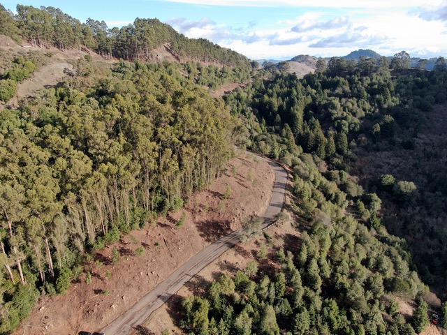
The DEIS fails to consider the aesthetic impact to views from the trails and roads within the canyon and from houses near it after the clear cutting.
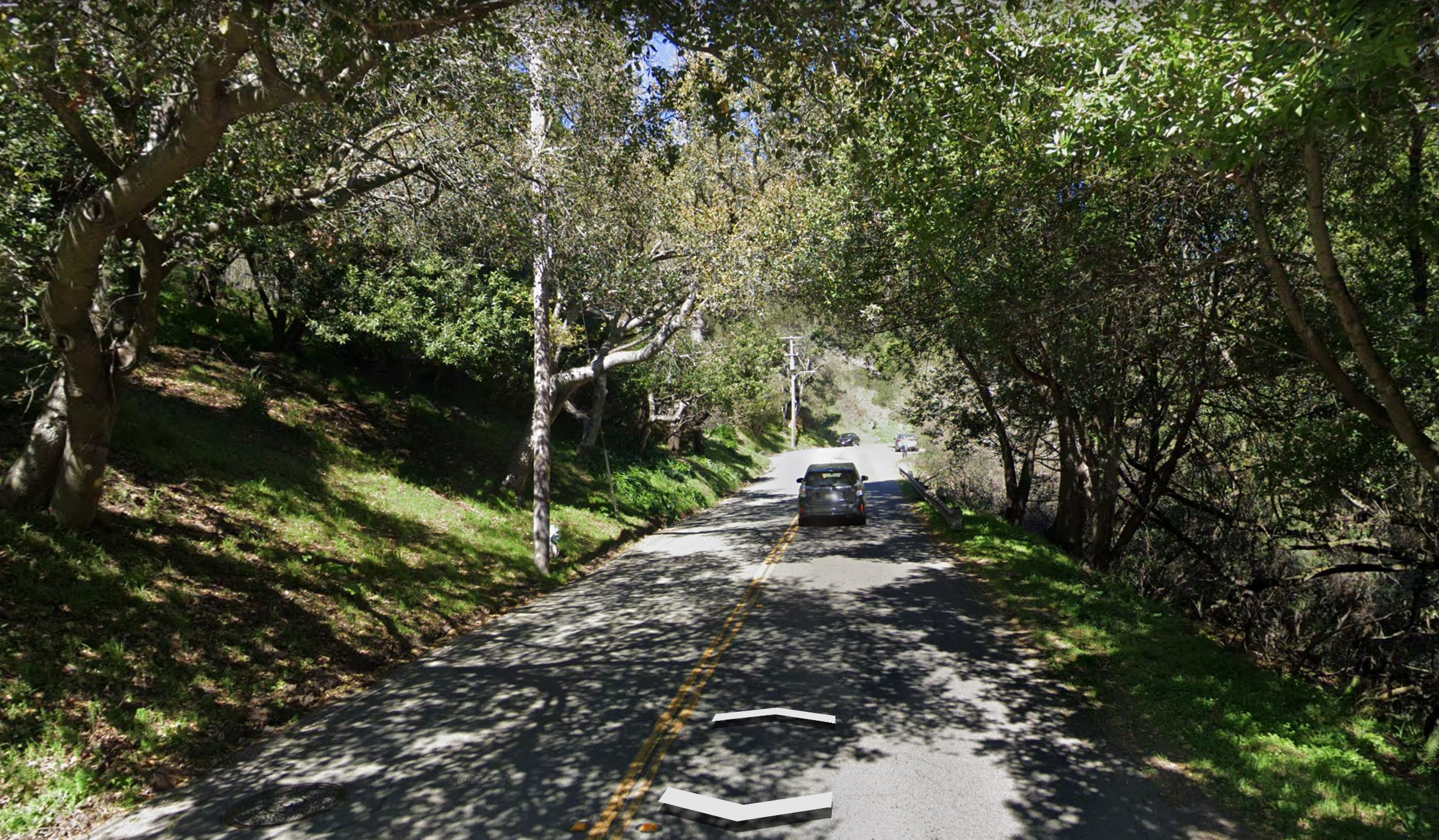
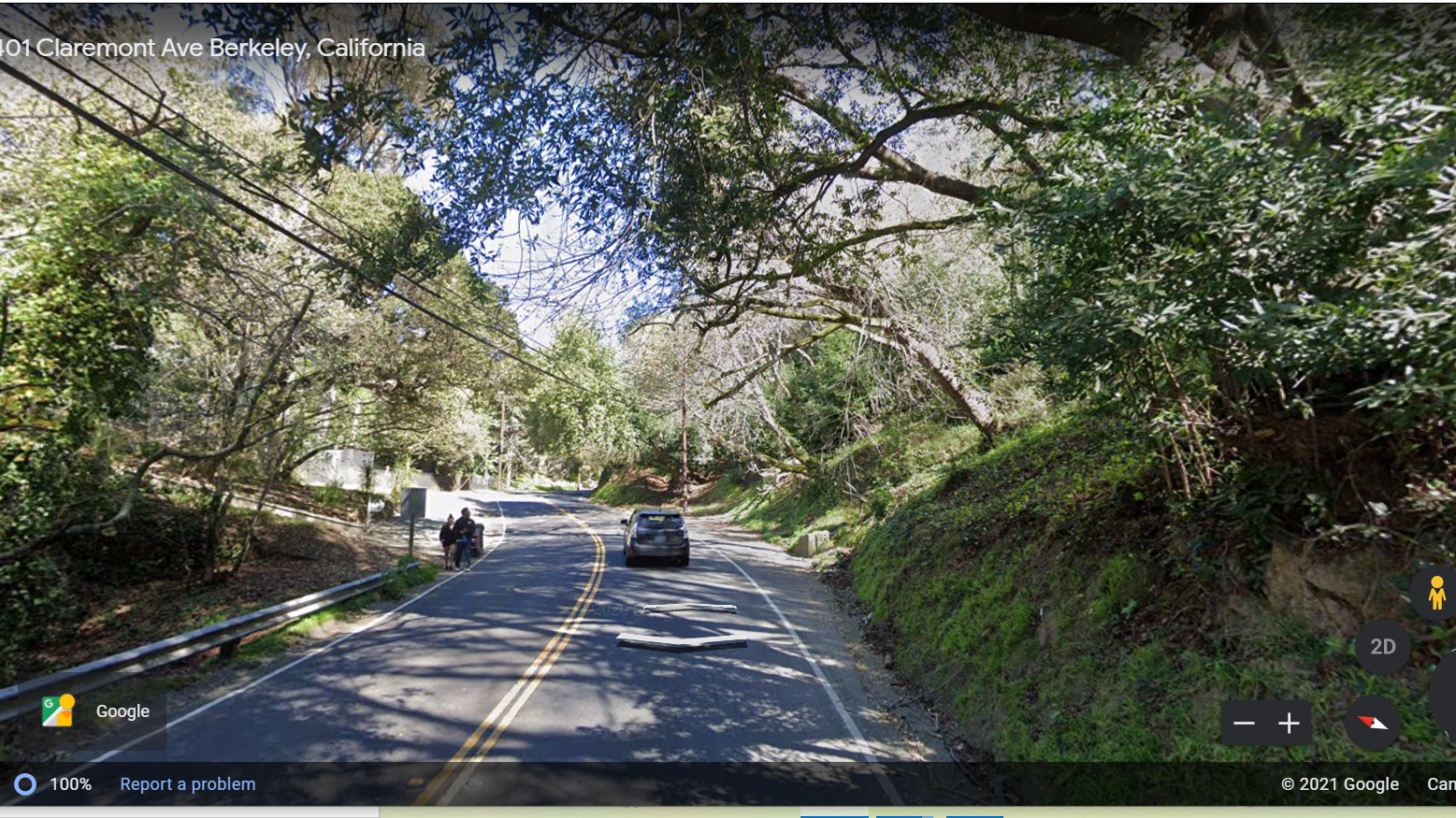
Section 4.12.2 of the DEIS states that a goal of the UCB LRDP (2005) is to “Maintain the visual primacy of the natural landscape in the hill campus” but there is no mention of the impact of clear cutting on this natural landscape. The north side of the lower portion of Strawberry Canyon forms the main campus of Lawrence Berkeley National Laboratory (LBNL). While individual buildings at LBNL are attractive in design, the overall effect of the site is essentially industrial, similar to an office park one might see along a freeway. The views of LBNL from the fire road that winds through the canyon are now largely screened by the large trees which will be destroyed by clear cutting. The trees also offer cooling shade to those using the area for recreation. The fire road is a major recreation amenity for UCB students, employees, and neighbors, used daily by hundreds of hikers, joggers, dog walkers, and mountain bikers. Removal of most of the trees as proposed will completely change the views enjoyed from the fire road. The DEIR provides absolutely no analysis of this impact either verbally or by providing illustrations of any viewing point in Strawberry Canyon. Most of the discussion of Section 5.8 is oriented to views over the hills from high points to the bay, which indeed may be improved by clear cutting. There is no discussion of views from within the areas to be clear cut and no reference to Strawberry Canyon.
The DEIS bases its list of plant species slated for destruction on incomplete and inaccurate botanical and fire danger information.
The authors of the DEIS seem not to understand the difference between “native” and “endemic” and they seem to have arbitrarily selected some “native” plants to extirpate while keeping others based on criteria having little or no relationship to fire hazards. Section 3.4.2.1.1 states that “Non native trees, including all eucalyptus, Monterey pine, and acacia would be cut down.” The Jepson Manual (2), which is the definitive source for California plants divides the state into geographic areas. According to Jepson Monterey pines (Pinus radiata) are native to California, and while not endemic to the EB Hills, they are native in the geographic area CCo, which includes both portions of Monterey County and the EB Hills with similar climatic conditions. Coast redwoods (Sequoia sempervirens) are also found in Strawberry Canyon but not as an endemic. They are also native to the geographic area (CCo). In contrast to Monterey pines, however, Coast Redwoods appear to escape destruction by clear cutting; at least there is no mention of such action in the DEIS. Another native and Strawberry Canyon endemic, California Bay (Umbellularia californica), is specifically listed in the DEIS to be retained. But in a publication of the University of California Cooperative Extension (3) it is listed as a “High Fire Hazard Native Tree.” Note that these comments are not meant to imply favoring destruction of redwoods or bay trees but to further illustrate the inaccurate information and the arbitrary nature of the DEIS conclusions. Similarly cypress species which grow in parts of Strawberry Canyon are also listed as pyrophites in this UC document, but the DEIS does not propose their extirpation.
The DEIS fails to consider the impact on Strawberry Creek of run‐off from the predicted massive amounts of slash, from the standpoint of hydrology and flood control or the impact on the biota of the creek.
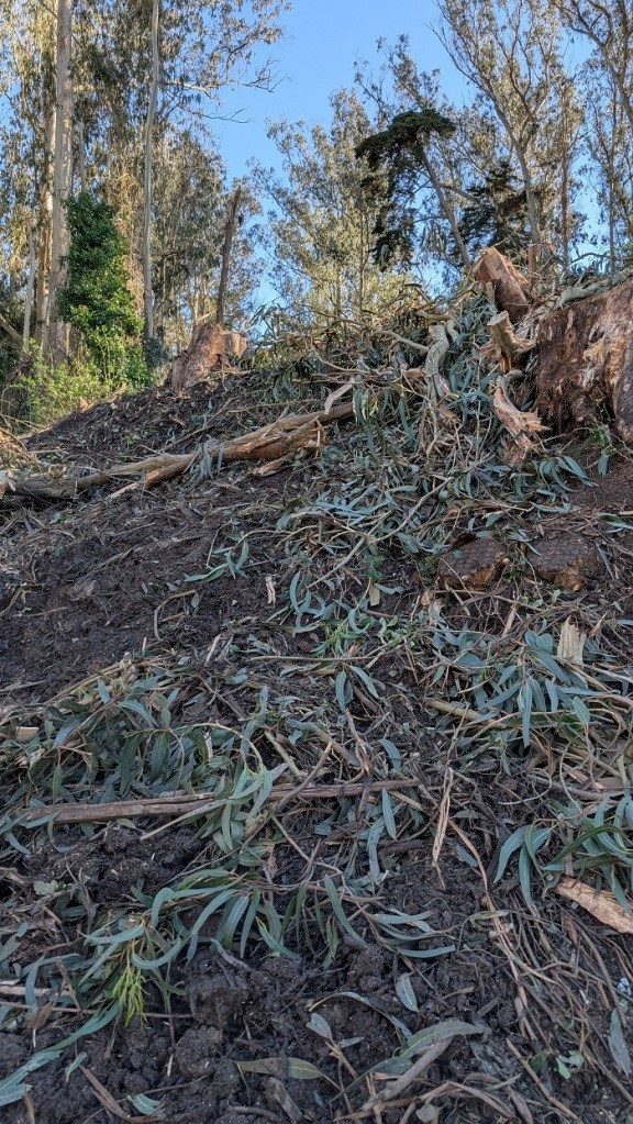
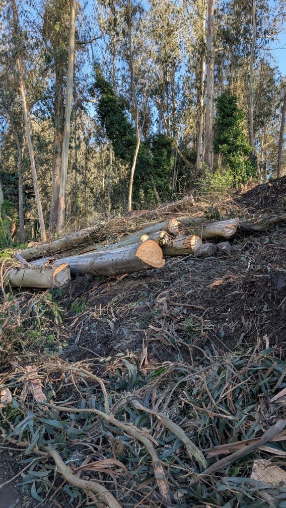
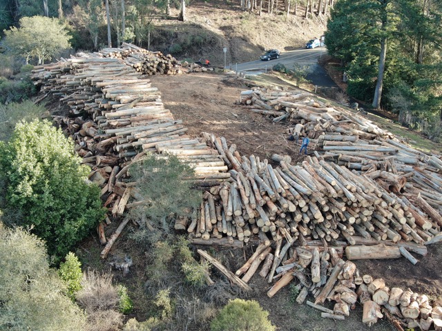
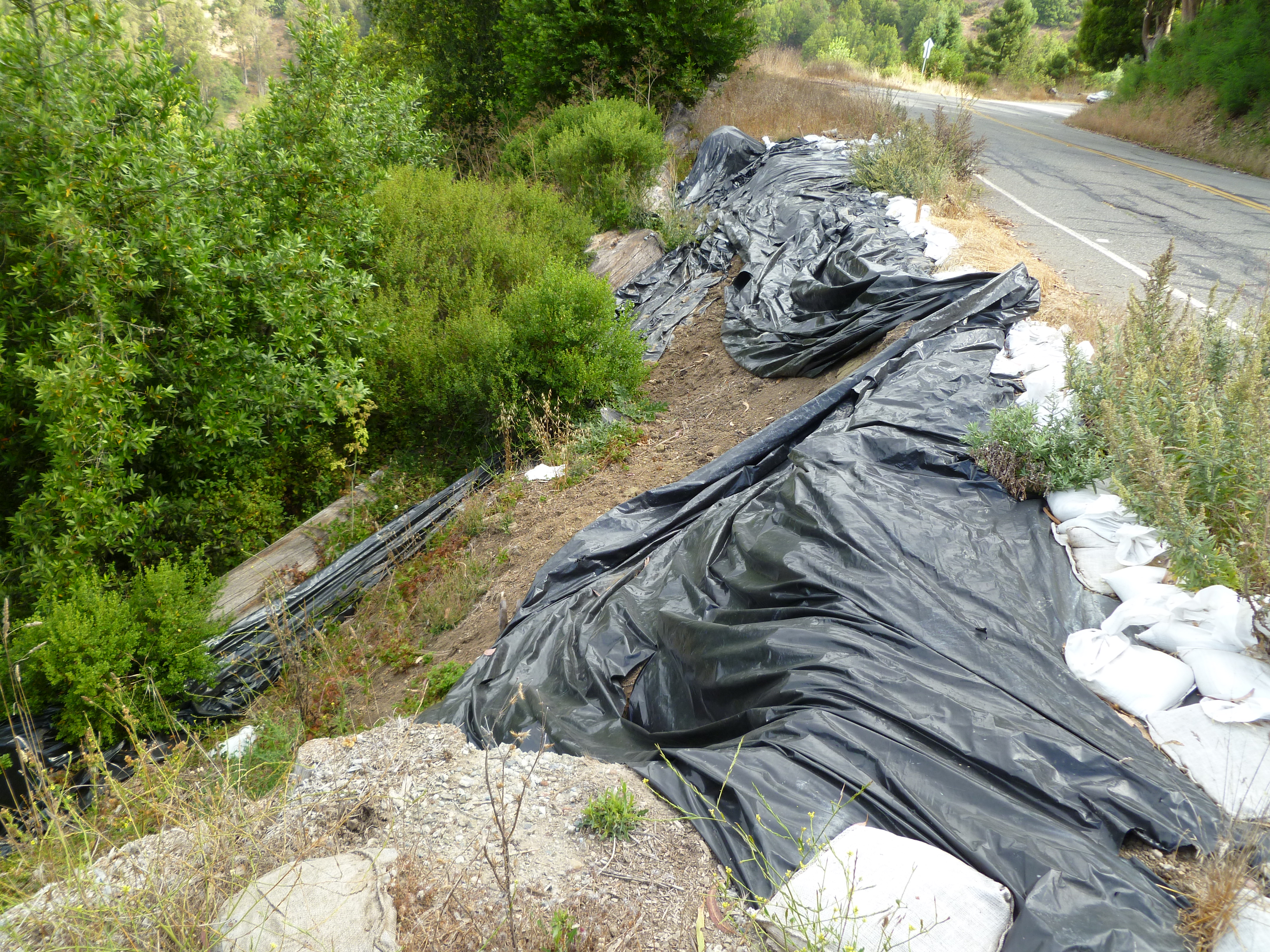
Section 3.4.2.1 of the DEIS states within Strawberry Canyon there will be clear cutting on 56 acres and that the downed trees will be chipped and left on 20% of the site at a depth of 2 feet. Based on these numbers the cumulative amount of material on the ground will be 975,744 cubic feet (.2 x 56 x 43,560 x 2). If merely 1% of this material is washed away in a storm, which seems a very conservative estimate considering the slopes where the material would be placed, there could be more than 1,000 cubic yards of slash material washed into Strawberry Creek. The DEIS does not discuss the impact on the biota of the creek of this potential massive amount of new material. Nor does the DEIS discuss the impact of this material on stream flow in storm conditions. Given that the culverts in the lower levels of the creek, near the Haas Clubhouse and the University Botanic Garden, are only about 9.5 square feet in cross section (See Figure 1.), there is a strong likelihood that the slash material would block the culverts and cause flooding. Section 3.4.2.1 states that “if the site yields a large number of large tree trunks,” some “may” be removed or used for other purposes than left on the site; however, the DEIS fails to state the criteria for determining what the “large number” is that would trigger such action. The hydrologic and ecological impacts are presumably left to the loggers to evaluate.
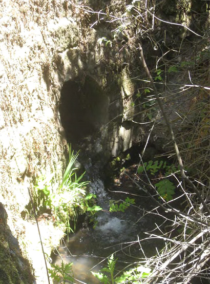
Figure 1, Culvert on lower fire trail, near Botanic Garden
The DEIS implies that trees other than eucalyptus, Monterey pines, and acacias will not be cut, but current actions in Strawberry Canyon suggest that UCB will cut anything at any time regardless of environmental regulations. The DEIS must be amended and re‐issued to include other UCB actions as part of cumulative impacts.
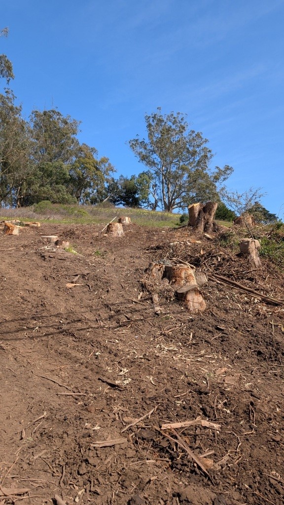
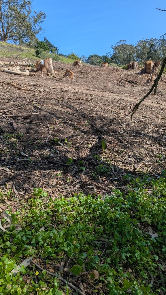
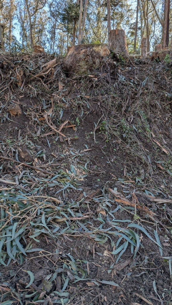
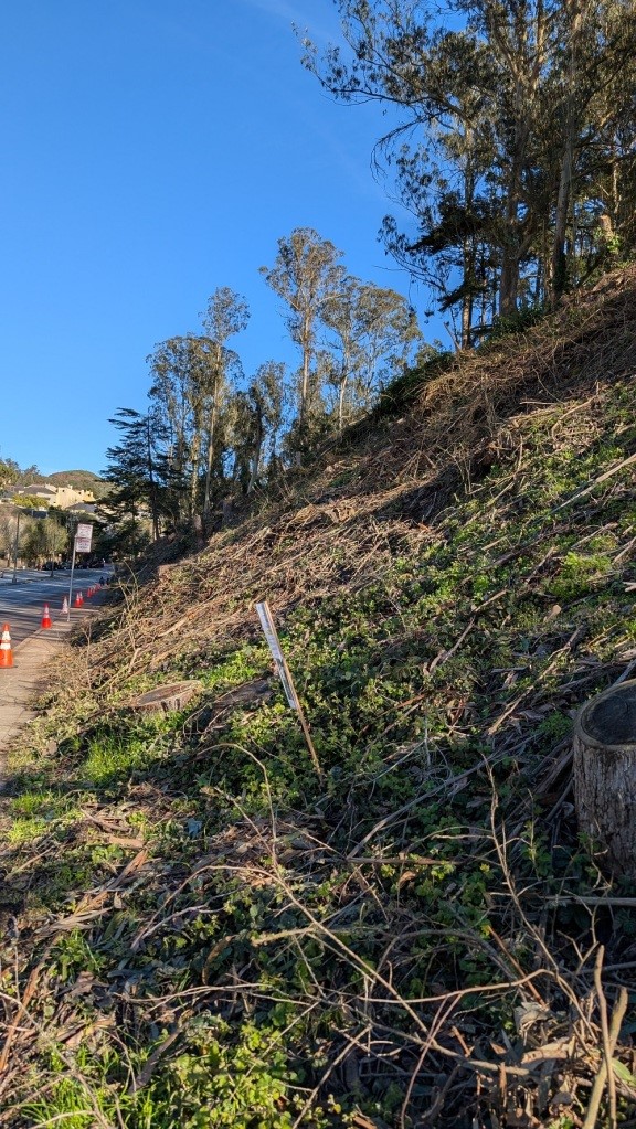
During the past week (June 6‐13, 2013) I have personally observed the cutting of at least six healthy, mature California live oaks, bays, and cypresses in Strawberry Canyon. (See Figures 2 and 3.) The oaks were particularly magnificent, and their destruction is tragic. I am familiar with the needs for passage of fire trucks as I own woodland property on a narrow privately maintained road. None of the trees just cut would have prevented passage of trucks, but I was told by one of the tree cutters that the excuse was “Fireman.” To my knowledge this cutting was done without any compliance with the California Environmental Quality Act (CEQA), which is the state equivalent of NEPA and applies to all UCB actions. This cutting constitutes a violation of the CEQA Guidelines Section 15304, which states that exemptions from CEQA apply only to actions “which do not involve the removal of healthy, mature, scenic trees.” If UCB is flagrantly cutting trees now, while the DEIS is out for public comment, what can we expect once the NEPA process is completed?
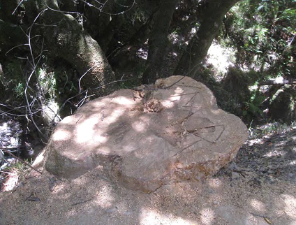
Figure 2. Bay stump on lower fire trail, cut on or about June 11 2013, diameter +/‐42”
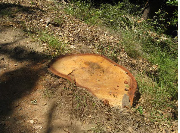
Figure 3. Live oak stump on lower fire trail, cut on June 10, 2013, diameter +/‐ 38”
(1) EPA 738‐R‐06‐007, 2006
(2) The Jepson Manual of Vascular Plants of California, 2nd Edition, UC Press, 2012
(3) Pyrophytic vs. Fire Resistant Plants, FireSafe Marin in Cooperation with University of California Cooperative Extension, October 1998
Thank you, Mr. Adams, for taking the time and trouble to write this excellent public comment on the FEMA draft EIS.